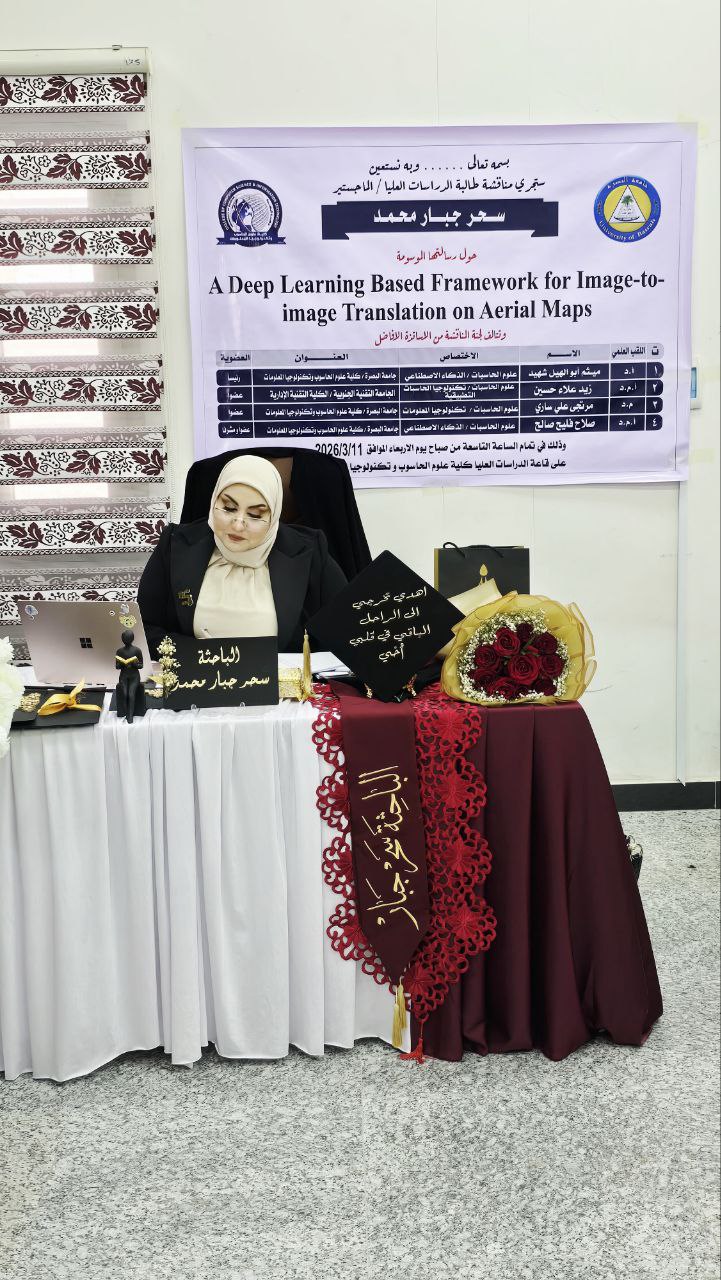
A Master's thesis at the College of Computer Science and Information Technology, University of Basrah, explored the development of a framework based on deep learning techniques for converting aerial images into maps. The thesis, titled “A Deep Learning Based Framework for Image-to-Image Translation on Aerial Maps,” was presented by student Sahar Jabbar Mohammed.
The thesis aimed to address the challenge of balancing image quality and output diversity in image conversion systems by developing a hybrid model combining VAE and GAN within the cVAE-cGAN framework.
The thesis concluded that the generated images achieved a significant improvement in quality compared to the traditional Pix2Pix model, using a range of evaluation metrics such as PSNR, SSIM, LPIPS, and FID.
Important News

viewed most